
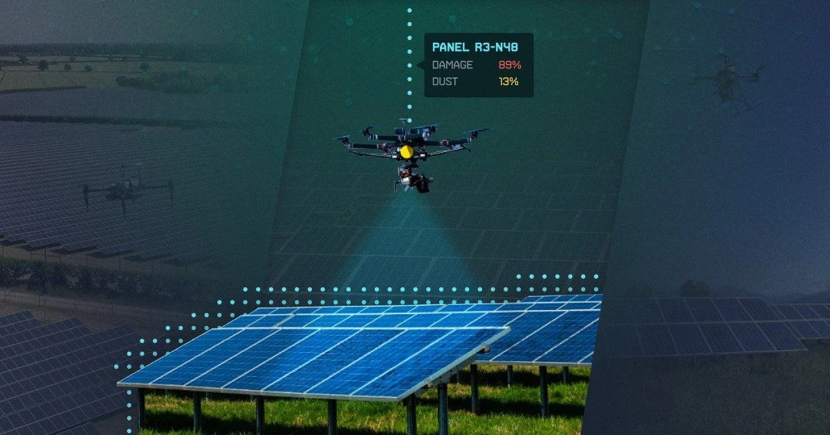
Drone-based solar inspection
Summary
Computer vision for panel inspection and reporting.
Inspection needed to identify panels in drone video, choose useful viewing angles and link suspected faults to locations.
A segmentation and tracking pipeline using thermal/RGB video, with TensorRT optimisation and a web service for inspection reports and map exports.
Tech Stack
- GStreamer
- OpenCV
- Python
- TensorFlow
- TensorRT
Project workstreams
- 01
1 week
Data Labelling and Processing
Data Engineer - 02
1 week
Solution Architecture Design
Solution Architect - 03
2 weeks
Hypothesis Generation & Validation
Deep Learning Researcher - 04
1 week
Architecture Modelling
Deep Learning Researcher - 05
3 weeks
Training & Tuning Cycle pt.1
Deep Learning Researcher - 06
4 weeks
Training & Tuning Cycle pt.2
Deep Learning Researcher - 07
3 weeks
Video Streaming Backend Development
Backend Developer, Data Engineer - 08
3 weeks
Web Platform Development
Backend Developer, Frontend Developer - 09
1 week
Integration & Deployment
Dev Ops
Tech Challenge
- Real-time binary segmentation of solar panels from the video.
- Choosing the "moment" of the panel classification at the right angle.
- Mapping the corresponding panel to its position on the map.
- Creation of interactive report with different view parameters.
- Creation of corresponding .kmz file with coordinates mapping.
- Creation of energy and money loss analytics based on classification results.
Solution
- Segmentation and tracking of panels based on TRGB video data.
- Optimization of processing with TensorRT.
- Using U-net for binary segmentation.
Outcome
A service for recurring inspections and uploaded-video analysis, producing mapped findings and estimated loss reports.
Users can analyse uploaded drone video and receive mapped findings, KMZ exports and estimates of energy and financial losses.
Published